

Post by sprockit on Jan 2, 2017 22:50:58 GMT
I'll set the scene with a couple of shots 'I took earlier', as on my New Year's Day 2017 ride I only took one shot of my bike.
Here in the South Pennines we're noted for having a few hills - although they're only molehills compared to some on the planet. They give a good chance to practice climbing on my bike, and I ride some on a regular basis, whereas others are beyond my limit, having only Viscount's bog-standard gearing on my bikes.
The 5-speed Sport has the highest first gear of my bikes, and I know if I can get round on this bike I can manage on the others. I surprised myself this year because I didn't expect to be able to do this route on this bike. It's about 6.5 miles (10 kilometres), is up and down, up and down, and generally takes me about 35 minutes.
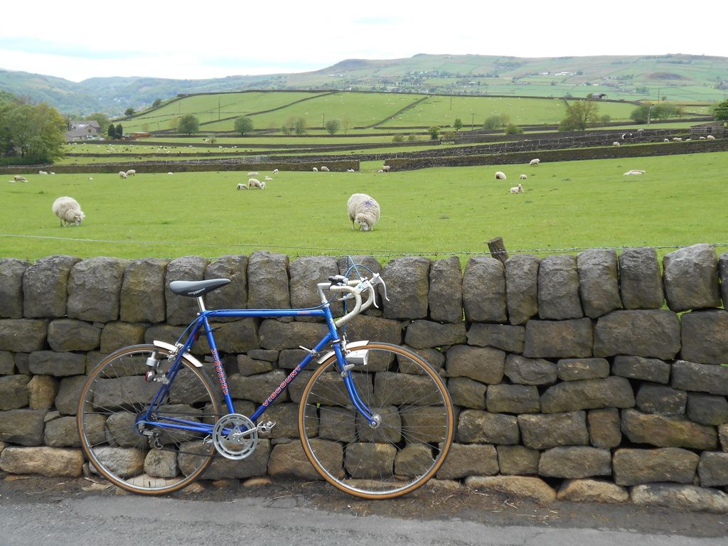
My cousin has a farm here, and the sheep in this field are his.
What a place to snap a spoke - at least the view was good! All was not lost as I can walk home from here in 45 minutes, but the rear wheel was still true enough to ride on.
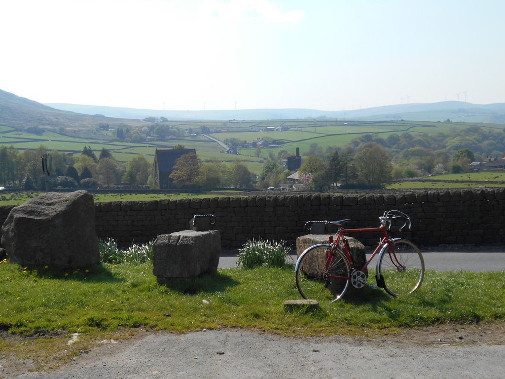
The view in the first picture was taken from off to the left of the frame of this, so gives an idea of the topography.
Having pedalled up here on New Year's Eve my little legs were feeling the strain a bit, so my first ride of 2017 was on the Sprint - the lowest geared of my bikes, pictured here at the horse watering troughs in Mankinholes village.
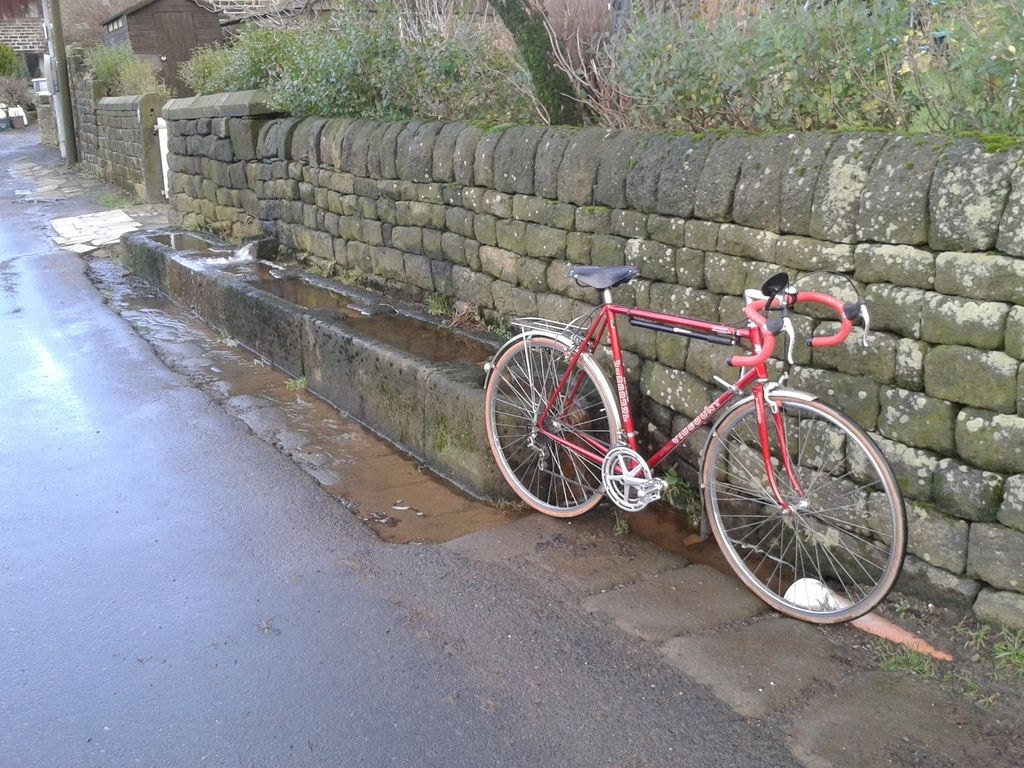
Note the stones under the bike's wheels - these form the causeways (causeys), the packhorse trails that were the motorways of their day.
I left the Sprint in the village and continued on foot up the hill and onto a section of the Pennine Way. The picture was taken a year or two ago in very wet conditions. The monument is Stoodley Pike, built to celebrate the peace that befell Europe after Napoleon's defeat at the Battle of Waterloo.

Along the way I came across these unused causey stones that have sat here on the moor for perhaps half a millennium, maybe longer.

Stoodley Pike is three days' walk from the southern end of the Pennine Way, is some 1250 feet above sea level, and is a very popular place to visit on New Year's Day . . . .
. . . . as this picture shows.

After my visit to the Pike I detoured my return route to visit this 'picture' stone - pre-historic rock art that was carved somewhere between 2500 and 5000 years ago. It's a cup mark surrounded by linear grooves.

Also on the route home was the Te Deum Stone. The legend 'Te Deus Laudamus' translates from Latin as 'We Praise Thee O Lord'. The stone's religious inscription and flat top suggests that it is a coffin stone, where bearers carrying a coffin across the moor could balance the casket on the stone and take a well-earned breather!

I'd left the Sprint in Mankinholes - the small cluster of trees in the centre of the picture - and after visiting some of the upland places of interest, enjoyed the view for a while before going down for my bike and riding home.
Note the causey at the bottom of the picture.

This, ladies and gentlemen, is my cycling playground - and on New Year's Day 2017, I enjoyed a day of 'active travel' around it.


